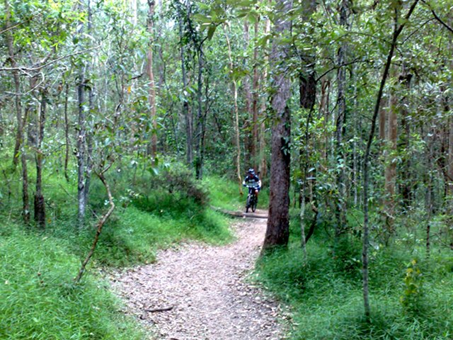
Let us begin with me on my bike:
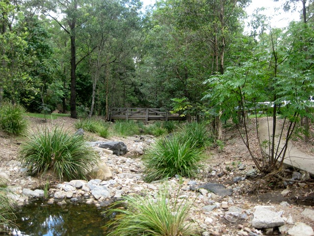
Breakfast made me feel very guilty, so early this afternoon we threw the bikes in the back of our enormous truck and headed to Gap Creek Reserve. It’s a fairly small (few hundred hectares) piece of forest just by Mount Coot-Tha (no – you’re pronouncing it wrong). We took the guide book, and pottered off with four liters of water between us. This should have been a clue:
Watercourses are typically found at the lowest point in your local topography. The name of the area is another clue – Mount Coot-Tha – does that sound like miles of rolling, level trail to you? So: to the first trail. Uphill. Let’s look at another: Vertiginous. Next one: you guess.
The Sensible Cyclist opted to potter around the surfaced trails while I dialled in the ‘climb’ feature on my legs and went uphill. A steady, solid climb, with the trail peaking every 30 meters at drainage points. After fifteen minutes I reached a local maximum, gubbled half a liter and turned round. Descending terrifies me. Steep descents on loose gravel are dangerous, tricky and Just Not My Thing. Tough, technical climbs should be rewarded with long, clean traverses – not with “OK – made that jump, yank it over, brake a little OSHITATREEEEEE I’MDEAD”. I’d rather be slow, boring and non-bisected.
Back to the trailhead, and Sensible Cyclist shares what she has found. We potter along some of those trails until “Get off and push” mode is needed by both of us. Across the road, then, to some easier trails. Hah.
Sensible Cyclist decides to have a break while I explore. At last – a flat bit – with a little descent. Then some climbing. Then some more. Ouch. To a sign “Circuit – 1190m” That’s not far, is it? And I must be nearly at the top….
Yeah. Another 30m vertical climbing, and a descent. This is where I should have turned round. I know what’s behind me. But oh no – Captain Optimist to the fore. “This descent probably goes to the car park”. Haha! It goes to a creek in the middle of nowhere with two options: Long steep climb ahead, or long steep climb behind. Optimism wins, and up we grind. And grind. The end of the trail is in sight! This must be the top! *Chortle* goes the forest. Around the corner, and the real climb starts. I’m due back at the car park, and have no meaningful way of estimating how much further to go. The sign says 800m, but is that horizontal or vertical? The mobile has signal, and I sheepishly tell sensible people that I’m half-way up a mountain without a schedule.. Surprise is not in evidence. I took a picture, too:
Back on the bike, and grind grind grind. The point in the distance is, actually, the top. After that another buttock-clenching descent that is rewarded with – guess what! — another hard long technical climb. At the end of that one I confess – I got off and pushed. The will was there. The desire was there. Message was sent to legs. “Bugger off” said the legs.
The descent to the car park was astonishing. Fast, jumps every 20-30m, loose gravel, no directional control and trees available for a serious crash at any point. Made it back after 30 minutes with 2km on the dial. I can only assume it was measuring altitude.


